
Morristown ZIP Code Coverage
Official USPS material places four ZIP entries in Morristown's postal destination and post-office context: 07960, 07961, 07962, and 07963. The evidence is useful for recognizing a postal label in a record. It does not provide an official street-by-street delivery map. For that reason, the Morristown ZIP code directory treats the entries as a starting set, not as neighborhood assignments.
| ZIP | USPS coverage context | Post-office information | Search note |
|---|---|---|---|
| 07960 | Primary Morristown destination in current USPS material | Exact post-office type was not located | Confirm the full address with USPS |
| 07961 | Additional Morristown ZIP entry in USPS destination/history material | Exact delivery geography was not located | Do not assign it to a neighborhood |
| 07962 | Additional Morristown ZIP entry in USPS destination/history material | Exact delivery geography was not located | Use the current address result |
| 07963 | Additional Morristown ZIP entry in USPS destination/history material | Exact delivery geography was not located | Keep postal and town facts separate |
None of the inspected USPS HTML established a PO-box-only ZIP, a unique ZIP, a station name, or an exact delivery area for these entries. Those blanks matter. A current exact-address result controls the ZIP used for mail, while county and Town sources control the municipality, parcel, and local-record questions.
Morristown Postal Routing History
The 2017 USPS Postal Bulletin records a destination-treatment change for 07961, 07962, and 07963. In the relevant destination list, those entries moved from a Morristown NJ 07962 preference toward Morristown NJ 07960. This is postal-routing history. It can help explain a difference between an older mailing label and a current one, but it does not prove a neighborhood boundary, a move, or a person's municipal residence.
The official 2017 USPS Postal Bulletin notice preserves the destination-treatment context for the four Morristown entries.
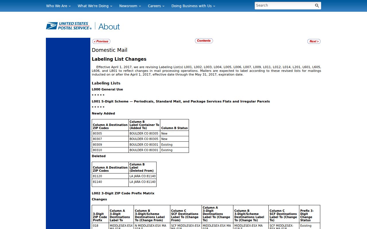
The notice is best read as a dated routing record. It cannot supply the exact ZIP for an address today.
Morristown ZIP Code Address Check
A ZIP is not a reliable stand-in for a street address in local records. USPS is the authority for an exact address-to-ZIP answer. Begin there, then take the verified street number, street name, and municipality to the county tax and parcel systems. The Morristown ZIP code directory does not present a ZIP-wide resident roll because the inspected local sources did not expose one.
USPS's current lookup entry point is the correct first stop when the physical address is known.
Use the returned postal form as the mailing reference, then preserve the address exactly as USPS renders it for the next search.
- Enter the complete physical address in the USPS lookup and note the current ZIP and standardized street form.
- Check the municipality on the Morris County municipal-boundary map when the address sits near Morristown or Morris Township.
- Use the exact street details in the County Tax Board's Property Location search, with its required tax year and district.
- When a parcel record gives a block and lot, use those identifiers to reduce ambiguity in the tax or GIS record.
- For a street-by-street record trail after the address is confirmed, use the Morristown By Street directory.
USPS's ZIP-code reference page describes lookup by city, area, or location.
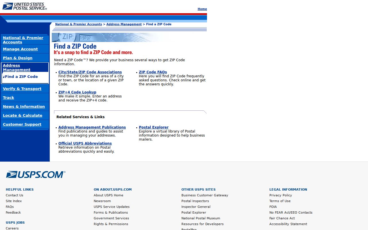
A city or area lookup can suggest a postal context. It does not replace a result for the complete address.
Morristown ZIP Code Tax Search
The Morris County Tax Board search does not offer a ZIP filter. Its search routes are based on tax and parcel information instead. That is a useful boundary between postal work and property work: verify the ZIP with USPS, then search the local system by the real fields it provides. A ZIP alone cannot retrieve a Morristown tax record from the inspected form.
| Tax-search route | Fields shown | What to carry from the address check |
|---|---|---|
| Property Location | Tax Year, District, Street Name, House Number | Standardized street name and number |
| Owner | Tax Year, District, Owner | Use only after an address result identifies the parcel |
| Block and Lot | Tax Year, District, Block, Lot, optional Qual Code | Parcel identifiers from a verified record |
| Prior Block and Lot | Tax Year, District, Prior Block, Prior Lot, optional Prior Qual Code | Older parcel identifiers where available |
The Morris County Tax Board form marks Tax Year and District as required in each route. Its data may be revised and is not warranted as a survey, so use the result with the official record type it represents.
Morristown ZIP Code and City Lines
Morristown is a municipality, while a ZIP is a postal-routing label. The two systems answer different questions. For a parcel, tax district, municipal service, or Town request, use the municipal boundary and the address in the relevant local system. For mail, use USPS's exact-address result. The county map index supplies municipal, street, census-tract, zoning, historic-site, and related maps, but the research did not locate an official county ZIP-specific map.
Morris County's municipal-boundary map is the practical comparison source when a postal label needs to be checked against jurisdiction. It distinguishes Morristown from Morris Township and surrounding municipalities, which is important before choosing a Town office, a county district, or a municipal records route. It does not establish a mailing assignment. Keep the map result with the dated source, then retain the USPS result separately for the postal address.
USPS's post-office-by-ZIP tool provides historical post-office search controls and cautions that its historical data may not be current.
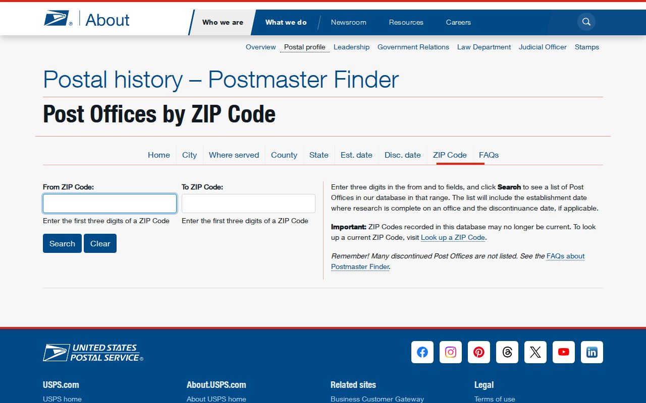
A historical post-office result may clarify a label in an older document. It should not override the current USPS result or the county municipal boundary.
- ZIP and ZIP+4
- A ZIP routes mail at a broad postal level. ZIP+4 adds a more specific segment for delivery sorting and does not establish a property line.
- PO-box ZIP
- A ZIP used for post-office boxes. The inspected Morristown USPS material did not identify any of the four entries as PO-box-only.
- Unique ZIP
- A ZIP assigned to one organization or high-volume receiver. No such designation was established for the four Morristown entries.
- Carrier route
- A delivery-route grouping used in postal operations. It is not a municipal district or a public list of households.
Morristown ZIP Code Boundary Myth
A parcel polygon is not a ZIP boundary, and it is not a legal survey. Morris County's GIS and tax services carry that distinction in their own limits: tax data can be revised, and GIS parcels are planning-purpose geometry rather than legal boundaries or tax maps. A parcel, a deed description, a tax record, and a postal address often belong in the same research file, but none can silently replace the others.
For a Morristown address near an edge, record the postal result and the municipality as separate facts. That preserves the source of each conclusion and avoids turning a map display into a claim about a boundary.
Morristown Address Continuity
Older documents may use a different destination line, street spelling, abbreviation, or house number. Morristown's 1868 Beers map, 1887 Robinson map, 1910 Mueller map, city directories, Sanborn sheets, tax maps, and deed descriptions offer a safer path for reconciling an old address. Start by transcribing the historic source exactly, including its spelling and number, then compare it to a dated later record. No official broad street-renumbering or street-renaming project was located in the reviewed sources.
The Morristown and Morris Township Library house-history guide directs researchers to its maps and onsite materials, while the 1909 Morristown Sanborn set supplies building and street context. Use dated sources to test continuity, not a present postal code to rewrite a historical label.
Morristown and Burnham Park
Burnham Park offers a clear example of why postal and civic geography should not be collapsed. The Burnham Park Association describes a neighborhood spanning Morristown and Morris Township, including Hillcrest, East and West Lake, Burnham Parkway, Mendham, Washington, Dellwood, Log, Edgehill, Midland, Springview, Fairmount, Ferndale, Parkview, Edgar, Dorothy, Grace, Upper Field, and Millers Farm. The association also says membership is not limited to a strict boundary.
The Burnham Park Association's own description is useful for local context, but it is not a ZIP map, a municipal-boundary authority, or a resident list. If an address has a Morristown postal label and the parcel lies in Morris Township, retain both facts and let the source appropriate to each question control.
Note: Neighborhood names can describe history and community context without defining postal service or municipal jurisdiction.
Morristown ZIP Code Terms and FAST
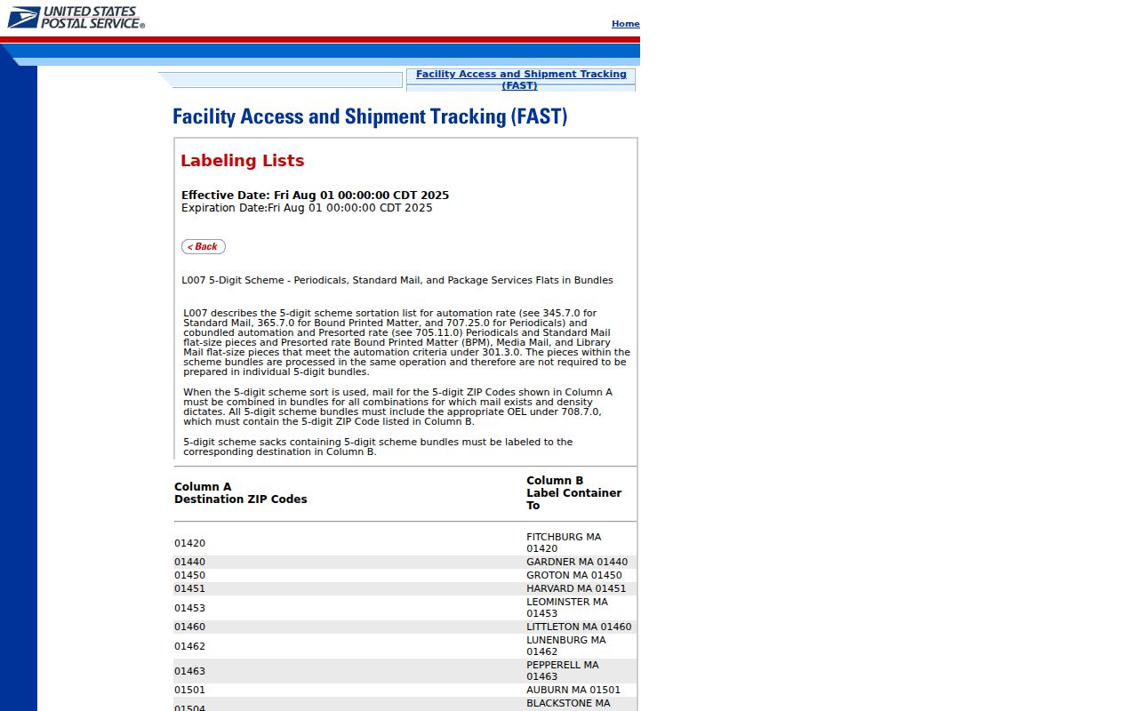
Current USPS FAST label-list material still presents 07960 through 07963 in a MORRISTOWN NJ 07960 destination context. FAST is operational postal data. Its listing supports the continuing routing context, but it does not expose the current delivery geography for every address. The exact USPS address lookup remains the deciding source for a mailing ZIP.
The USPS FAST label-list record shows the current destination-list context used for this comparison.
Keep a source date with any postal note. USPS routing data, portal layouts, tax records, and map services can change after a search is performed. When comparing old correspondence, retain its date and full mailing line beside the modern USPS result. The two labels can coexist without proving a changed municipal boundary.