
Morristown Neighbors by the Block
A careful block search separates land information from community context. Morris County GIS can show the tax lots around a selected location. The Tax Board can supply a dated tax-record path. State voter tools and statutory list access have narrower uses. Local organizations describe their own geography, not a roster of everyone on a street. Together, these sources can clarify how a block is arranged without turning private households into a profile.
| Block source | What it can place | Practical access |
|---|---|---|
| Morris County GIS apps | Parcel polygons, property location, municipality, block, lot, and adjoining map geometry. | County browser tools; use as planning context. |
| Morris County tax records | A tax-year record tied to an address route, owner display, or block-and-lot route. | Public Tax Board search with its required form fields. |
| New Jersey voter channels | Personal registration-status or polling-place questions, plus the statutory voter-list route. | State tools and the County Clerk, subject to legal limits. |
| Community organizations | Park, downtown, nonprofit, or historic civic geography. | Use the organization and county directory as context sources. |
| Library history collections | Dated directories, maps, and neighborhood history for an earlier period. | Morristown and Morris Township Library holdings; many require onsite use. |
Nearby neighbors are not established by a shared street, map edge, or owner field. An owner display describes a record field for a parcel. It does not show that the owner occupies it, identify every person there, or prove a current relationship between adjoining addresses.
Morristown Parcel Adjacency Method
Use the county map as a disciplined sequence rather than a shortcut to personal details. The GIS service supplies the surrounding geometry and its FeatureServer exposes property-location, municipality, block, lot, deed-reference, acreage, and owner-display fields. The county tax search is a separate record path. It requires a tax year and district before a location, owner, or block-and-lot search can be run. Preserve those values with the result so another source can be checked on its own terms.
- Locate the address in the Morris County GIS apps and record the property location, municipality, block, lot, and the date of the view.
- Identify the polygons that touch or sit immediately around the selected tax lot. Treat them as adjoining parcels, not as a list of households.
- Use the Tax Board route that matches the available identifiers, then retain the tax year and district beside any displayed parcel information.
- Compare the municipal field with the County municipal-boundary map when the block is near Morris Township or another jurisdiction.
- Save the map disclaimer and any redaction or blank display. A missing field is not proof that no underlying record exists.
For a longer address-by-address record chain, use the Morristown street directory. It covers the tax, deed, map, and historical-address sequence without treating an entire street as one household list.
Morristown GIS Boundary Myth
A parcel is a mapped tax and planning unit, not a survey line. Morris County describes its parcel service as planning-purpose data rather than a legal boundary or tax map. Its polygons can be useful for seeing which parcels are near one another, but they need independent verification for a title, survey, or municipal-boundary question. The Tax Board adds a similar caution: its information is supplied as-is, can be revised, and has no warranty of accuracy, timeliness, or completeness.
- Parcel
- A mapped tax unit commonly identified by municipality, block, and lot.
- Property location
- The address-style field used to locate a parcel. It can differ from a mailing address.
- FeatureServer
- A county service that publishes mapped data fields and geometry for use in a browser app or query.
The Morris County GIS apps provide the county landing point for Parcel Searcher, tax maps, and related map tools.
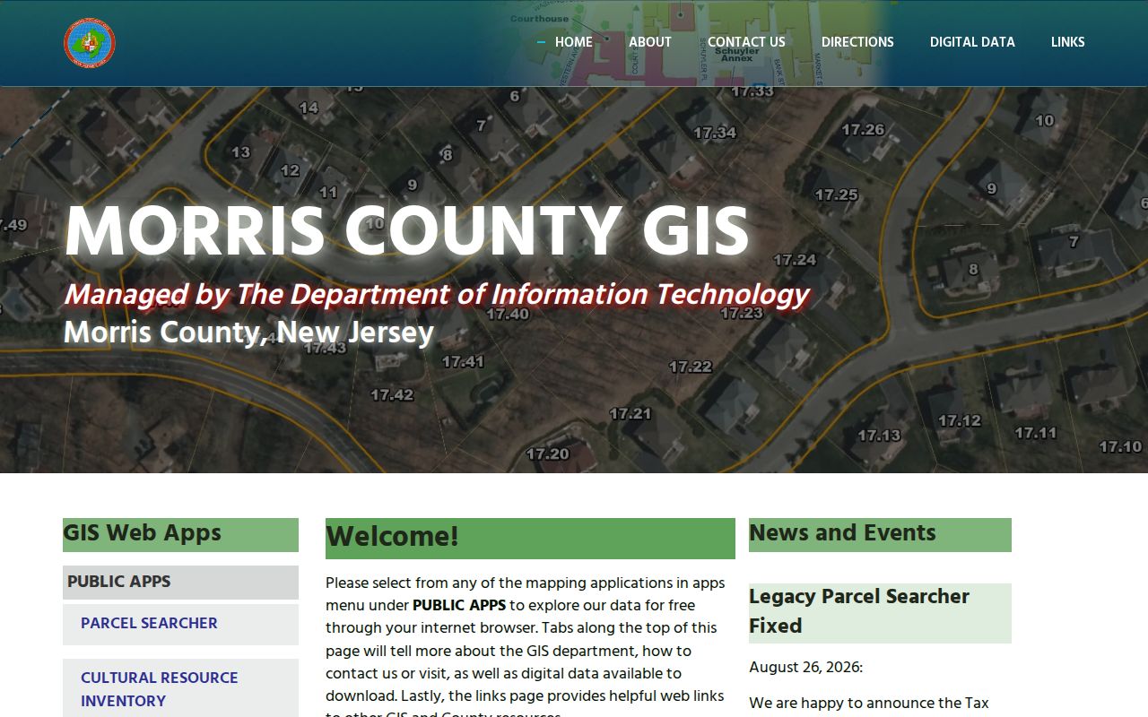
The landing page helps identify the right county tool, while the disclaimer keeps a parcel outline from being mistaken for a legal conclusion.
Morristown Insider Tip: Save Context
Save more than a parcel number. A responsible adjacency note records the displayed municipal boundary, the GIS disclaimer, the target tax lot, the map date or view state, and an association's own description of its geography. That context matters because a postal label, a park neighborhood, and a municipal boundary can point to different things. The research did not retain a live neighbor-parcel example, so no person-specific map result should be reconstructed from memory or copied into a block list.
When an address falls near a line, retain both the mailing description and the municipality shown by the county source. Let each source answer only the question it was made to answer.
Morristown Voter Records Limits
New Jersey's registration-check and polling-place tools serve a limited civic purpose. The reviewed official HTML did not expose their exact input labels, validation rules, or menu choices, so those details should not be guessed. The registration tool is not a free-form resident index, and a successful status check would not establish where a person currently lives. Morris County Elections directs registration and polling questions to the state tools and County Elections at 10 Court Street.
N.J.S.A. 19:31-18 describes voter-list fields, excluding signatures except under court order, and N.J.S.A. 19:31-18.1 directs the County Clerk to furnish copies under its statutory terms. The statute prohibits commercial or charitable solicitation from those copies. Use the County Clerk and the statute for a narrowly described records question, not an unverified list or a claim about a particular household.
Morristown Civic Geography Sources
Community sources are most useful when they describe a place or an organization's public work. The Morris County nonprofit directory can help locate Morristown Neighborhood House, Grow It Green Morristown, Morristown Partnership, and other groups. Then use each organization's own material for current purpose and contact information. Neither a directory listing nor a nearby address establishes that a person is a participant, member, customer, or resident.
| Organization source | Local context it supplies | Important boundary |
|---|---|---|
| Burnham Park Association | Volunteer stewardship of Burnham Park, Jones Woods, and the Green Strip. | Its membership is not limited to a strict boundary; no formal public member directory was located. |
| Morristown Partnership | Downtown Special Improvement District streets, events, and business context. | Its street list is not a residential boundary. |
| Woman's Club of Morristown | Civic-service history and the later Woman's Civic Association name. | The reviewed history page did not provide membership or directory details. |
| Town boards | Public bodies, agendas, appointments, and approved minutes. | A mention in a meeting record needs its surrounding context. |
The Burnham Park Association describes its park stewardship and its own neighborhood geography.
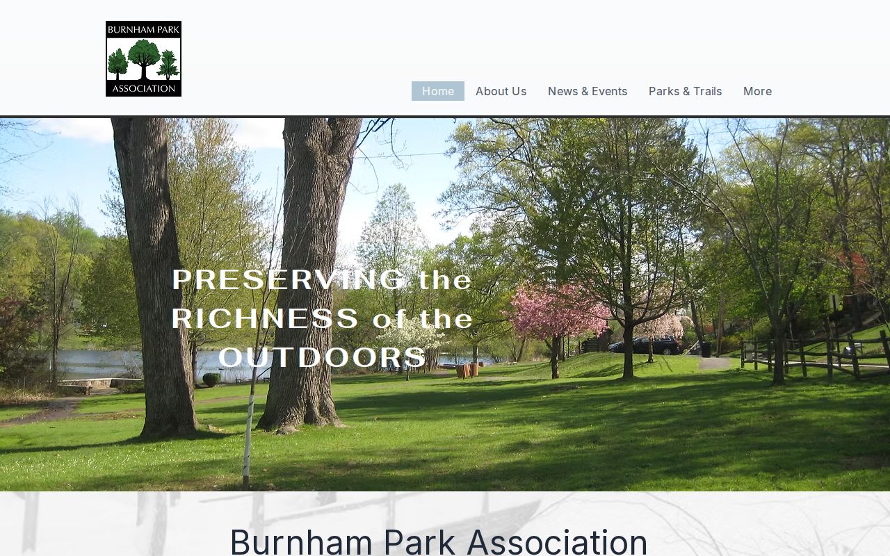
That source is useful for understanding the association's stated area and activities, not for identifying a private membership list.
The Woman's Club of Morristown mission and milestones page records the organization's civic history.
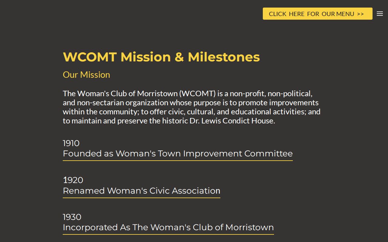
Its historical account offers organization context only. It does not support an inference about who belongs to the club today.
Burnham Park's Morristown Boundary
Burnham Park provides a clear example of civic geography that does not match one simple municipal shape. The Association says its area reaches across Morristown and Morris Township. Its street list includes Hillcrest, East and West Lake, Burnham Parkway, Mendham, Washington, Dellwood, Log, Edgehill, Midland, Springview, Fairmount, Ferndale, Parkview, Edgar, Dorothy, Grace, Upper Field, and Millers Farm. Membership is not limited to that list or to a strict line.
Use the County municipal map and the parcel municipality field when a location is close to this area. A Morristown postal reference, a Burnham Park civic description, and a Morris Township parcel display can all be accurate in their own roles.
Morristown Downtown Street Context
The Morristown Partnership is a downtown Special Improvement District organization at 14 Maple Avenue, Suite 201. Its public materials offer a business directory, event information, and a street-list explanation for the district. The list includes Bank, South Street, Speedwell, Maple, Morris, Washington, Market, DeHart, Elm, and many other downtown streets. It can provide place context for a storefront, local event, or organization record. It does not mark an individual residence area.
The Morristown Partnership is the source for the district's current civic and street-list context.
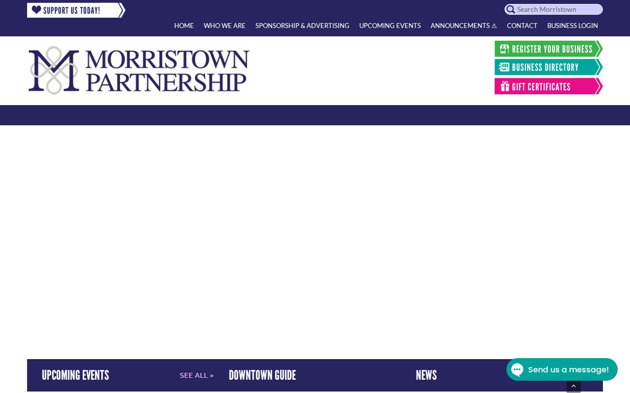
Use its boundary description alongside the County map, not as a substitute for a parcel or municipal record.
Morristown Official Source Comparison
Official records and commercial lookup categories should be read differently. An official source identifies a custodian, a record purpose, and often a date or legal limit. A commercial tool may combine information from changing sources, but it does not replace a county parcel record, a municipal boundary source, or an agency response. Neither category establishes present occupancy merely from an address match.
| Official Morristown source | Commercial lookup category | Careful use |
|---|---|---|
| County GIS or tax record | Address-linked summary | Use the official field, tax year, and disclaimer to check location context. |
| County Clerk recorded instrument | Identity or property summary | Read the instrument date and party role; a recorded party need not be a current occupant. |
| Town board record or organization page | Community-profile summary | Confirm public civic context with the custodian or organization, without inferring membership. |
Morristown Privacy Limits for Neighbors
New Jersey's Address Confidentiality Program can provide a substitute address for qualifying survivors and victims under its rules. Daniel's Law supplies a redaction framework for covered judges, prosecutors, law-enforcement officers, and immediate family members. A blank owner display, a removed web field, or a redacted map result should never be treated as proof that the record did not exist. Do not try to reverse-engineer a protected address from adjoining lots, mailing details, or other partial records.
The New Jersey Data Privacy Act provides consumer rights in covered data practices, but it does not erase every public record or override separate retention and access rules. The right response to uncertainty is to confirm a record with the proper custodian and leave protected details out of a neighborhood note.
Lawful use. Use Morristown address and civic records for personal, lawful research, property history, or community context. Do not use them to solicit, monitor, stalk, harass, intimidate, or target anyone, and never work around a redaction or substitute address.
Morristown Boards and Public Roles
Morristown's boards page identifies public bodies such as the Board of Adjustment, Environmental Commission, Historic Preservation Commission, Shade Tree, Library trustees, Parking Authority, Planning Board, Rent Leveling Board, and Water bodies. Agendas, approved minutes, appointment notices, and ordinances can show civic activity when they are public. The Town Clerk is the likely custodian for a focused request that names the board and date range. A name in minutes can reflect attendance, staff work, testimony, or an appointment, so the item itself must be read.
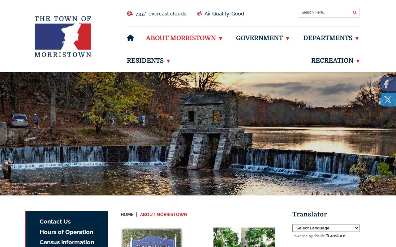
The Town of Morristown About page provides the Town's municipal identity and local-landmark context.
Pair a public meeting record with its date, agency, and action rather than using it to infer a private address or neighborhood affiliation.