
Walking a Morristown Street by Address
A Morristown street search starts with an address, but an address alone does not answer who is there now. Begin by matching the street to the tax district and parcel, then use the parcel facts to locate recorded documents. The owner field is a lead, not proof of occupancy. A deed records a transaction, and a directory places a name at an address in a particular period. Keeping those roles separate makes a Morristown street directory useful for property history, family research, and a careful check of a record trail.
Move from one official record to the next. Preserve the date, source, and field label each time. That habit also helps when a street sits near a municipal edge, when a parcel was changed, or when a historical source uses an abbreviation that no longer appears in a current address form.
- Enter the street address in the Morris County tax-record search, using its current tax year and district controls to identify the property location or tax identifiers.
- Check the same location in the county GIS tools for the parcel, municipality, block, lot, and surrounding street context. Treat the map geometry as a planning reference, not a legal boundary.
- Use an owner display as a search lead, then compare it with a recorded instrument or a municipal record that has its own date and purpose.
- Search the Morris County Clerk property-record portal for the deed chain, recording date, and party relationship connected to that parcel.
- For a lawful voter-list or registration question, use the County Clerk and the state status channel carefully. A voter result does not establish that someone currently resides at the address.
- For a past household, ask the Morristown and Morris Township Library about a directory or address-organized volume. The reviewed sources did not identify a digitized Morristown criss-cross directory, so confirm a local holding before relying on one.
Note: A single name match is not enough; use an address, document date, parcel, or second record to check it.
Morristown Tax Search by Street
The county tax search has separate forms, so choose the route that matches the information already in hand. Property Location is the address path for a Morristown street directory. It requires Tax Year, District, and Street Name, while House Number is available without a required marker. The Owner, Block and Lot, and Prior Block and Lot routes are alternatives when an address has changed or a document provides tax identifiers instead of a current street label.
| Search route | Required field labels | Optional or alternative field | Street-use check |
|---|---|---|---|
| Property Location | Tax Year, District, Street Name | House Number | Match the Morristown street spelling to a tax record. |
| Owner | Tax Year, District, Owner | Owner is an alternative route | Use a displayed name to locate a parcel, then verify it elsewhere. |
| Block and Lot | Tax Year, District, Block, Lot | Qual Code | Use identifiers found in a deed or parcel record. |
| Prior Block and Lot | Tax Year, District, Prior Block, Prior Lot | Prior Qual Code | Check an earlier tax reference without guessing a new address. |
The Tax Board says its information is supplied as-is, may be revised, has no warranty for accuracy, timeliness, or completeness, and is not a survey. A Morristown result can connect an address, tax district, block, lot, qualification, and assessed-data fields. Cross-check a result with the Clerk instrument or the municipal assessor rather than treating the tax search as final title evidence.
Morristown Parcel Layers by Street
Morris County GIS apps include Parcel Searcher, Tax Search Simple, Tax Search Advanced, and Tax Map Viewer. Their data catalog lists address points, tax blocks, parcels, building footprints, municipal boundaries, roads, zoning layers, and other map material. Use the municipal field to distinguish Morristown from a nearby municipality before joining a map result to a deed or directory entry. The county describes the parcel layers as planning-purpose data, not a survey, legal boundary, or tax map.
- Parcel
- A tax and mapping unit represented in the county parcel layer, commonly tied to a block and lot.
- Situs address
- The physical property location used to locate a parcel. It can differ from a mailing address.
- Plat
- A recorded map that can show lots or subdivision geometry. It gives land context, not a list of occupants.
- Criss-cross directory
- An address-organized directory that can help place an older household. Confirm the Morristown holding and year with library staff before using it.
The Morris County GIS data catalog shows the county’s parcel, address, map, and downloadable-layer context.
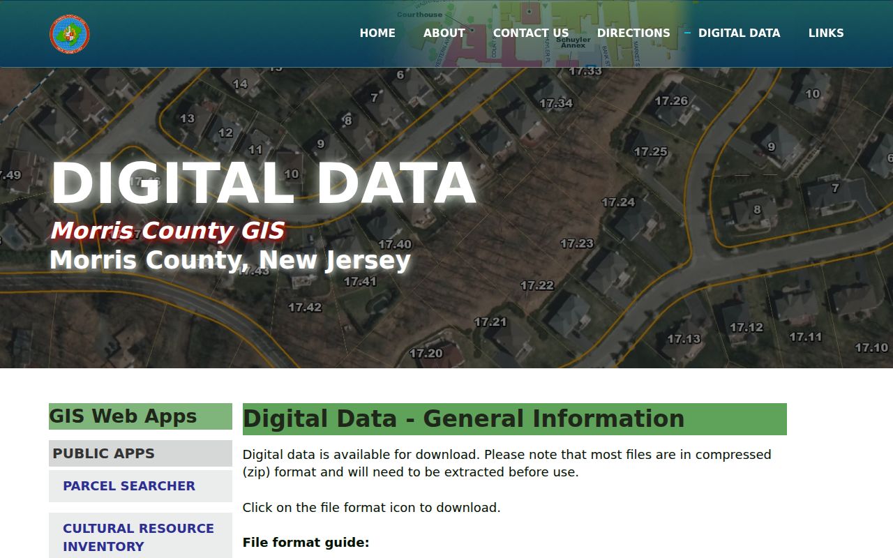
Use the catalog to identify the appropriate Morristown layer before requesting data or comparing a street address with a tax record.
The Parcel Searcher map service is the county route for query, identify, find, and export functions on its parcel layer.
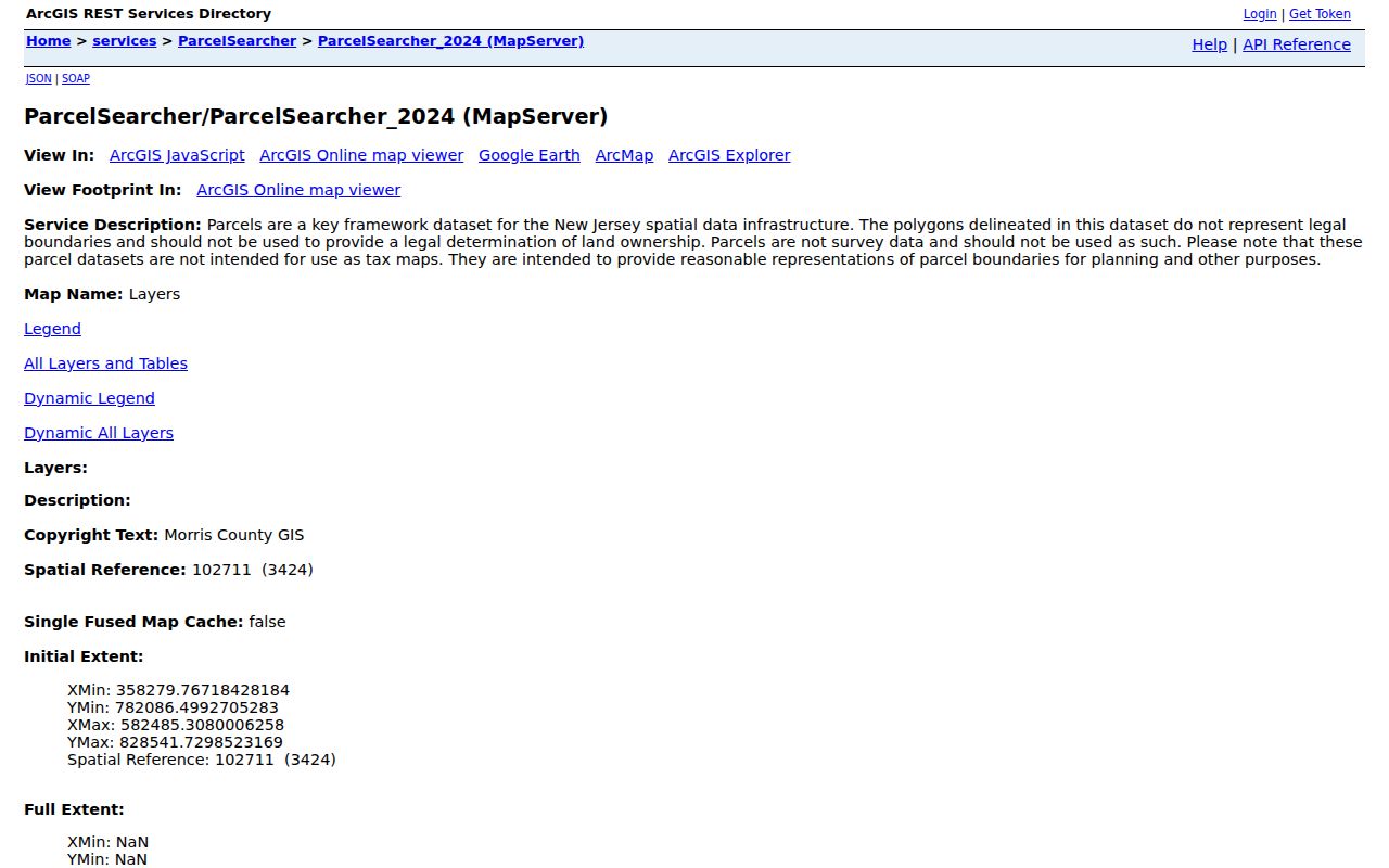
Parcel map results supply location context for a Morristown street search, but the service limits results and does not replace a legal record.
Morristown Street Records at a Glance
Address-keyed sources have different keepers and different limits. The table below separates a Morristown street directory trail into records that identify property, records that document a transaction, and historical material that puts an address in time. It also keeps the public voter channels in their proper role: status and statutory list access are not proof that a person lives at a particular address.
| Address record | Keeper | Street connection | Access and limit |
|---|---|---|---|
| Tax record | Morris County Tax Board | Tax year, district, street, block, and lot | Public search; data may change and is not a survey. |
| Parcel layer | Morris County GIS | Property location, municipality, geometry, and tax identifiers | Public app; planning-use geometry only. |
| Recorded instrument | Morris County Clerk, Registry Division | Party, town, lot/block, map, parcel, or legal-description route | Online records from 1960; some images may be restricted. |
| Earlier property material | Morris County Clerk, Records Vault | Older book, microfilm, and digital-image research | Use the Vault route for pre-1960 work. |
| Permit or code record | Town of Morristown | Address-specific municipal subject or file | Ask the proper office or make a focused OPRA request; exemptions can apply. |
| Directory or map | Morristown and Morris Township Library | Historical spelling, household, or building context | Many materials are onsite and year-specific. |
The county parcel FeatureServer exposes fields such as property location, municipality, block, lot, owner display, deed book, deed page, deed date, assessed data, tax data, acreage, and parcel geometry.
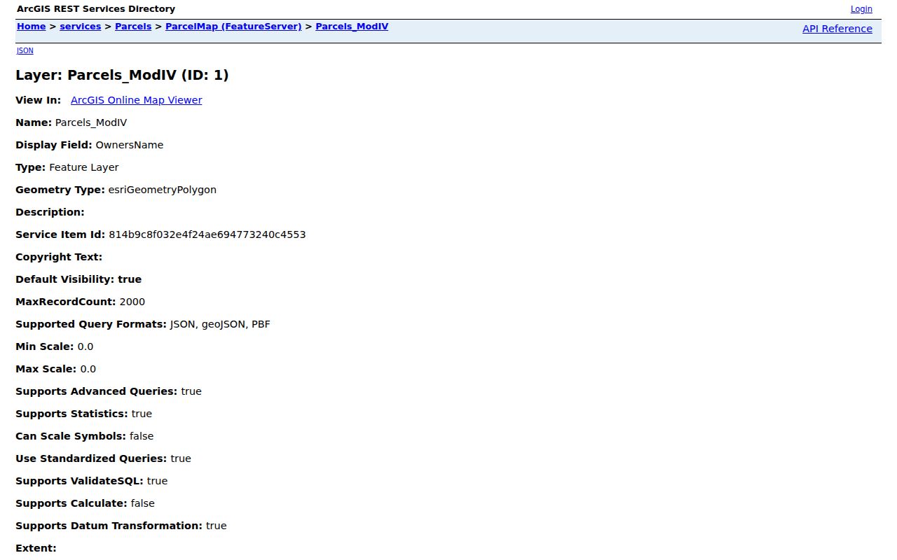
Those fields make a strong cross-check for a Morristown address, though an owner display or tax field still does not prove present occupancy.
Note: Keep the tax year and document date beside each Morristown street record, because the same address can appear differently over time.
Morristown Deed Chains Since 1960
The Morris County Clerk’s Online Property Records Search says its online coverage reaches back to 1960. The live verified-document portal offers distinct routes for Party Name, Document Type, Instrument Number, Book/Page, Town, Lot/Block, Map Number, Parcel ID, and Legal Description Line 1. A Morristown street directory researcher can begin with a parcel identifier or party, then preserve the instrument number, recording date, municipality, book/page, and party role for the next comparison.
A deed documents a conveyance. It does not identify every resident, and a recorded owner need not live at the parcel. Mortgages, liens, releases, maps, and corrections are separate instruments with separate meanings. Result images can be restricted or require login, so retain the index details and use the Clerk as the source for an official copy or question about an unavailable image.
Older Morristown Street Records in the Vault
For property research before 1960, the Clerk directs users to the Morris County Records Vault. The Vault describes books, microfilm, and digital images of property and other records extending to the late 1700s. A mail request can include a general description, a book/page when known, a return address, and payment. That is a better fallback than inventing a missing deed-chain step from a current parcel display.
Use the current street address only as a starting point. Match it with a historic block, lot, book/page, map reference, or legal description when the source provides one. If an older record uses a different spelling or abbreviation, transcribe it first and compare it to a later map or directory rather than silently changing it.
Morristown Maps for Historic Streets
The Morristown and Morris Township Library’s house-history research guide connects address work with maps, directories, vertical files, and appointments for storage material. Its historic map index includes more than 10,000 maps, including the 1868 Beers, 1887 Robinson, and 1910 Mueller maps. The Library of Congress also hosts a 1909 Morristown Sanborn map set with 44 images.
These are street-context tools, not resident lists. Sanborn sheets can show footprints, street names, adjoining structures, and building-use clues. Historic maps and local directories can also expose a spelling difference or a parcel change that explains why a current street search fails. No official Morristown street-renumbering or broad renaming project was located in the reviewed sources, so preserve the original wording and test it against several dated records.
The historical directory collections deserve their own careful treatment, including year gaps and onsite access. The Morristown City Directories page focuses on those collections rather than repeating their full shelf history here.
Morristown Insider Tip: Party Names
Enter a surname followed by a first name in the Clerk Party Name field without a comma. The portal’s example follows that format. Then test a Morristown result with Book/Page or Parcel ID before treating it as part of the same street trail. This extra comparison is especially useful where a common name, an abbreviated first name, or an instrument with several parties could otherwise create a false connection.
Document Type controls and some portal choices are dynamic. If an option is not visible in the rendered service, leave the choice unrecorded rather than filling it in from memory.
Morristown Street Permits and Code Records
The Town of Morristown Code Enforcement page routes building, construction, health, property-maintenance, zoning, and related municipal subjects. An address-specific permit, inspection, or municipal file can clarify the history of a structure, but availability depends on the particular record and any applicable exemption. Start with the named Town office when the record type is known. For a public-record request, use a written description with the parcel or address, date range, department, and document type.
A focused Morristown request belongs with the proper custodian. The Town’s OPRA process uses a written form through the Clerk’s Office, fax, or the published email channel. New Jersey’s Open Public Records Act requires a written request directed to the right custodian with enough detail to identify the records. Redactions and exemptions can limit what is released.
The Town’s code page is a useful routing source for the Morristown municipal record trail.
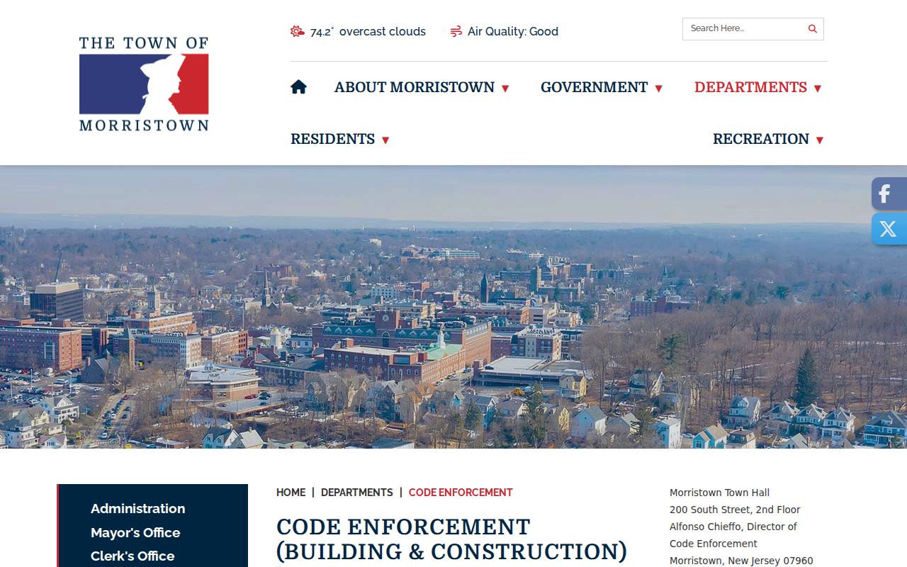
Use a specific record description so the Town can identify the right Morristown file without treating a general department page as proof of any property fact.
Morristown Street ZIP Cautions
Use the USPS exact-address lookup for a current address-to-ZIP answer. USPS material identifies 07960, 07961, 07962, and 07963 in Morristown destination and post-office context, while a 2017 Postal Bulletin changed destination treatment for 07961, 07962, and 07963 toward Morristown NJ 07960. That history is not a neighborhood map. It cannot place a person in a school area, election district, or municipal boundary.
Check the County municipal-boundary map when a Morristown street sits near Morris Township or another municipality. ZIP labels, street names, parcel records, and municipal jurisdiction should be checked independently.
Limits of a Morristown Street Directory
Morristown address research has real privacy limits. A tax-roll owner, party to a recorded document, or voter-list entry cannot establish current residency. The state registration tool is for a person’s registration status, and the statutory voter-list route has its own use restrictions. Do not combine partial results into a profile or infer a household relationship from a shared street, parcel, or map boundary.
New Jersey’s Address Confidentiality Program provides a substitute address for qualifying participants and does not authorize anyone to reverse-engineer a protected address. Daniel’s Law can also affect public web displays for covered officials and family members. A blank owner field or removed display is not evidence that no record exists. Confirm a disputed result with the issuing office and respect redactions.
Lawful use. Use Morristown street and address records for personal, lawful research such as property history or family context. Do not use a record to contact, solicit, stalk, harass, or target a person, or to work around a protected address.
Note: Protect full dates of birth, unnecessary identification numbers, and sensitive address details even when another record appears public.
Morristown Street Property Alerts
The Morris County Clerk property-alert service lets a participant register for alerts connected to a property. The County Prosecutor’s scam-prevention guidance recommends reviewing deeds and using the alert service. It is a protective notification tool for a Morristown property, not a historical title search and not a guarantee that every improper filing will be prevented.
Use the Clerk’s property-alert registration guide for the current setup details. If a notice seems urgent or asks for payment, verify it through the official agency contact before acting on it.